
What to Know
- A storm that drenched Northern California has moved into Southern California.
- The heaviest rain for SoCal will fall Thursday evening into Friday.
- Conditions dry out later Friday before another storm arrives this holiday weekend.
A storm that will deliver rain and snow Thursday into Friday has arrived in Southern California.
Mountain snowfall and widespread rain are in the forecast with most of the precipitation falling late Thursday into Friday. The same system hammered northern parts of the West Coast with rain and snow earlier this week, offering a preview of what’s to come.
Here’s the storm outlook. This article will be updated.

Holiday Week Storm Timeline
Showers drenched Ventura County overnight, adding up to nearly half an inch in some areas. The storm moves into Los Angeles later Thursday morning before spreading into Orange County and Inland Empire communities later Thursday morning.
“At that time, it is widespread,” said NBC4 forecaster Belen De Leon. “It’s best just not to be on the roads. Expect travel delays.”
- Thursday Morning: Rain increases in LA County
- Thursday Afternoon Into Friday: Widespread rain
- Friday Afternoon: Rain decreases
- Saturday: Cold storm brings more rain
Showers will be light in the morning with the heaviest rain arriving Thursday night through Friday morning.
Water vapor imagery over the Pacific showed an atmospheric river developing as moisture streams from an area east of Hawaii. Atmospheric rivers are long plumes of moisture in the sky over the Pacific that have fueled some of the West Coasts most powerful and damaging storms.
Moderate to heavy rain on wildfire burn scars, such as the Bond, Apple, Silverado and El Dorado burn areas, could trigger debris flows late Thursday into Friday. Those areas are under a flood watch.

Coastal and valley areas will see 1 to 3 inches of rain, Mountain communities are in for 2 to more than 5 inches.
Snow levels will remain high with accumulations between 4 to 8 inches above 7,000 feet.
Gusts will pick up Thursday, reaching 50 to 60 mph in the mountains.
Another system arrives on Christmas Day with showers lasting through Sunday.
“That one is going to be a colder one with less rain,” De Leon said. “We’re still several days away, and this storm system could take another route.”

What to Make of California’s December Weather
In October, the National Oceanic and Atmospheric Administration announced that a the Pacific Ocean was showing signs of a new La Nina, the flip side of the El Nino ocean-warming pattern, that tends to cause changes in weather worldwide.
Forecasters said much of California would have a 33% to 50% chance of below-normal precipitation, while only the state’s far northern tier had equal chances of above- or below-normal precipitation.
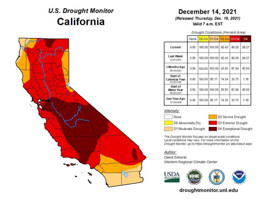
But the storm track has trended farther south than is usual during La Ninas. After a series of mid-December tempests, California’s overall snow-water equivalent — a measurement of how much water is in the snowpack — jumped from 19% of normal to date on Dec. 10 to 76% of normal on Dec. 17, according to the latest U.S. Seasonal Drought Outlook.
While the current wet trend is positive, it is too early to know if it will last through January and February. The snowpack normally doesn’t reach its maximum until April and last spring there was minimal runoff because much of the water was absorbed by the drought-parched landscape.


Source: NBC Los Angeles
Be First to Comment